You are here
Back to topNational Geographic United States Wall Map - Explorer (32 X 20.25 In) (National Geographic Reference Map) (Not Folded)
Email or call for price.
Out of Print
Description
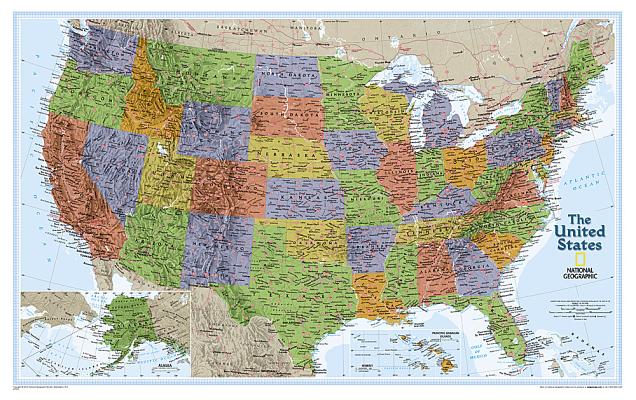
The United States Explorer map is a classic example of the cartographic excellence National Geographic is known for. This colorful political map clearly shows state boundaries, capitals, major highways, rivers, lakes, and many major cities. Insets show detail of Alaska and Hawaii. The color palette is vibrant and stunning shaded relief provides additional texture and detail.
The map is packaged in a two inch diameter tube with a label showing a thumbnail of the map with dimensions and other pertinent information.
Map Scale = 1:6,395,000Sheet Size = 32" x 20.25"